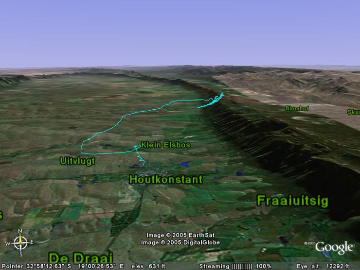
Sample IGC2KML and KMZ conversion of a flight in Porterville
When using the Show All Thermals button in a Site, a AllThermals.kml and a AllThermals.kmz file get created in the Thermal3Data directory of a flying site. The files contain a collection of all the thermals that have been collected when scanning all the IGC files for a flying site.
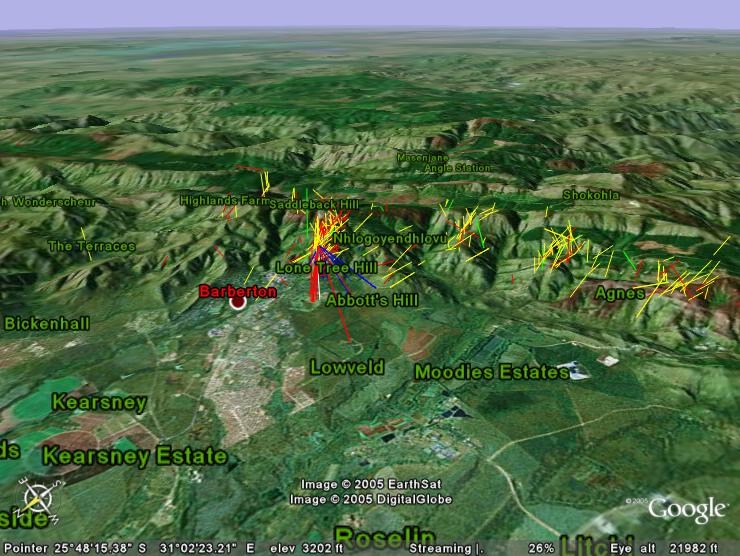
The red lines from the Lowveld airfieldor the Barberton golf course back to Lone Tree are caused by pilots not switching off their GPS when getting a lift back to take off at Lone Tree hill.
Back to the top index